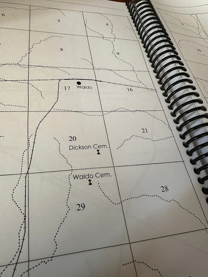
When I decided to set The County Line in the 1930s, I didn’t really appreciate how much time I’d spend with old Arkansas maps.
Of course, the Sanborn Fire Insurance maps, which I’ve mentioned before, were essential.
What I didn’t know when I started was that I’d keep a 350-page, spiral-bound book of numbered squares within reach at all times.
The folks at Arphax Publishing put out these wonderful books of family land maps, using government documents from the Bureau of Land Management. (You can find out more at glorecords.blm.gov.)
So you can use these maps to find out who bought what land when, where the cemetery used to be for such-and-such family, and so forth. Heck, it’s even an amazing resource to just collect historically accurate and whacky names.
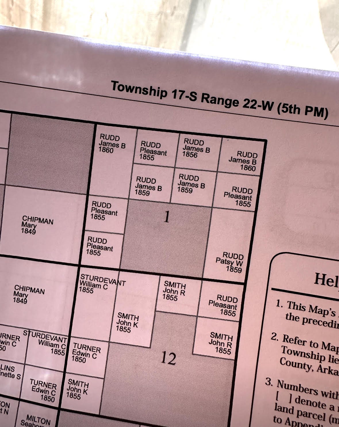
If you’re like me and want to know more about those Rudds (the delightful real-life ones, not the completely made-up ones), then you just thumb to this page:
In addition to maps letting you know what Pleasant Rudd was up to in 1855, the book also provides some statistical charts letting you know, for example, how many cemeteries were in this area, how many surnames, and the date of the oldest land patent.
The book was invaluable to me. Well, it was forty bucks, you know what I mean.
So, if you’re interested in land maps, check out the books that Arphax publishes. I found so much in the one for Columbia County, Arkansas that I’ve already got pieces for a handful more stories.
I also wanted to mention that I’ll be on the fabulous PaperCuts podcast on Friday, June 21, chatting with Brad and J about exactly this sort of stuff. Swing by around 8 p.m. eastern and check it out. Here’s the link: Paper Cuts | Ep 77 | Steve Weddle (youtube.com)


Steve, this is really cool. Thank you for sharing!